Dr Toby Marthews
My UKCEH webpage is here and I maintain the JULES website too.
tobmar *a,t* ceh *dot* ac *dot* uk
See videos about UKCEH environmental science , Climate & Land and long-term monitoring
tobmar *a,t* ceh *dot* ac *dot* uk
See videos about UKCEH environmental science , Climate & Land and long-term monitoring
My research is in Land Surface Science. I have two special focuses:
(1) River routing and other flows over land and into the Global Ocean. I was responsible for putting overbank inundation into the JULES land surface model in 2015/16 and I am currently working to improve our representation of different forms of inundation. This is critical for predicting floods and droughts, and also links to many other aspects of climate change prediction where our current knowledge is insufficient (e.g. land-atmosphere interactions, coastal exchange). For this, I work with NOC on the CHAMFER project and I am using the UK's coupled model configurations.
(2) Wetland environments, particularly in the Tropics, which are hugely important for global water and carbon cycles and, of course, biodiversity. I am working with partners in SE Asia through UKCEH's NC-International project to make better predictions of peatland and oil palm environments.
Through my projects (see menu, top) I am involved with the theory and development of land surface models (LSMs) and hydrological models, working collaboratively with groups in the UK, SE Asia, India, Southern Africa, Norway, US, Panama and elsewhere. Mostly, I use the UK model JULES, for which I am a code developer.
Land Surface Science group, Centre for Ecology & Hydrology (CEH), MacLean Bdg, Wallingford OX10 8BB, U.K., Tel: +44 753 2168305 (mobile)
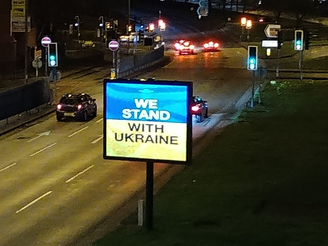
The background photo I took in the Andamans, India, when I was staying at ANET in 2014. The 'We Stand with Ukraine' sign was one I saw in Wolverhampton, UK, around March 2022 (see here).
The background photo I took in the Andamans, India, when I was staying at ANET in 2014. The 'We Stand with Ukraine' sign was one I saw in Wolverhampton, UK, around March 2022 (see here).


