In 2021-22 I ran an informal Fluxes from Flooded Vegetation Discussion Group
Schedule of meetings:
Meeting 1: 9-NOV-21. Presentation by Ross Morrison about UKCEH flux tower data.
Meeting 2: 8-DEC-21. Presentation by Toby Marthews about flooded vegetation and another by Nic Gedney about her upcoming paper.
Meeting 3: 8-FEB-22. Presentation by Noah Smith and Toby Marthews on soil supersaturation.
Meeting 4: 8-MAR-22 Presentation by Anthony Schrapffer about ORCHIDEE's new Floodplains Scheme and results from the Pantanal.
Meeting 5: 12-APR-2022. Presentation by Athanasios Paschalis about his group's current work on the Tethys-Chloris wetland model.
Meeting 6: 7-JUN-2022. Presentation on river routing/inundation modelling by Toby.
** Discussion Group closed - there will be no further meetings! **
|
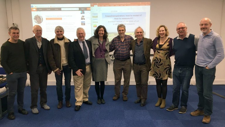
Prof. Henk de Bruin visited CEH Wallingford on 8th March 2019 and gave a wide-ranging talk entitled Evapo(transpi)ration: How to model it? How to measure it? A critical review of the state of the art and a call for novel research. The seminar attracted several senior hydrologists and micro-meteorologists from pre-CEH days. CEH article in The Grapevine is here and the slides and audio are here (including the energy balance closure blues!).
Photo: L-R: Chris Taylor, John Gash, Colin Lloyd, Jim Shuttleworth, Eleanor Blyth, Henk de Bruin, Richard Harding, Anne Verhoef , Jim Wallace, Jonathan Evans. |
|
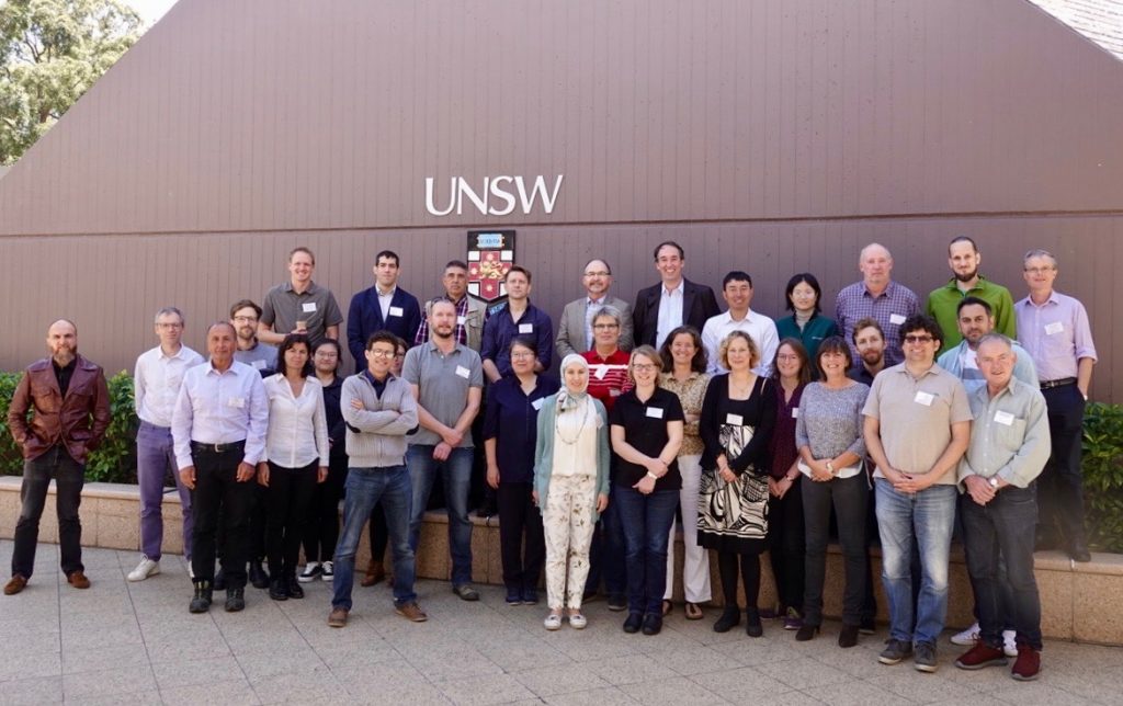
In October 2019 we organised a GHP cross-cutting workshop Determining Evaporation led by Prof. Joan Cuxart in Sydney, Australia. See here. I presented a talk Evapotranspiration in the JULES land surface model.
The 2nd GEWEX Evapotranspiration workshop was hosted by Univ. Wageningen online in February 2021. |
I co-organised a BACI/BASi workshop Progress on Biosphere-Atmosphere-Change indices at the Max Planck Institute in Jena (DE) 4-5th Feb 2019 with Markus Reichstein and Miguel Mahecha from the Empirical Inference of the Earth System research group.
I co-organised the iLEAPS 5th Science Conference at the Saïd Business School in Oxford, U.K., 11-14th September 2017. See my talk here for details (slides 5-7 about my ideas on land surface coupling strength and slides 14-21 describe current progress on the new iLEAPS BASi and component data products).
|
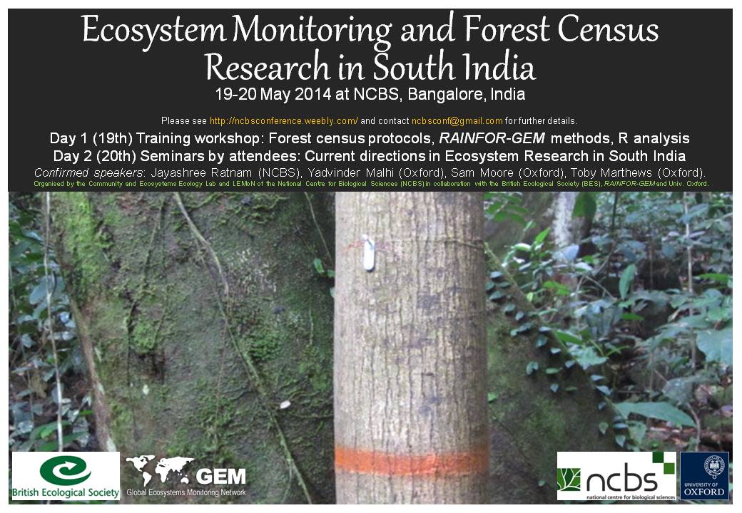
My UKIERI-UGC project "Carbon flux measurements in island rainforest ecosystems" was an exchange programme I initiated with NCBS, Bangalore, in 2013 in collaboration with Prof. Malhi. Through this project I organised a workshop in Bangalore in May 2014 (see Marthews et al. 2015, Current Science) and during 2015 I hosted two Indian visitors as visiting researchers here in Oxford as well as one student on exchange back to NCBS.
Link to the LEMoN network of forest plots in India |
The African wetlands project was a collaboration between Univ. Oxford, CEH Wallingford and the JCHMR aiming to quantify the land-atmosphere feedbacks between tropical African wetlands and climate (see also here). We were using the HydroSHEDS data set to model the hydrology of some large wetlands in tropical Africa. We were trying to predict future flow regimes in some African catchments under different scenarios of future rainfall patterns (see here and here for background).
One product of this research has been Marthews et al. (2015, HESS) where I have produced a new global layer of hyper-resolution topographic index values for use in process-based land surface modelling of water flow across landscapes.
One product of this research has been Marthews et al. (2015, HESS) where I have produced a new global layer of hyper-resolution topographic index values for use in process-based land surface modelling of water flow across landscapes.
|
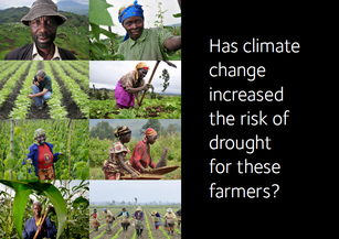
The ACE-Africa project is a collaboration between Univ. Oxford, Univ. Reading, AfClix, Oxfam GB and the Met Office aiming to assess whether climate change is already affecting Africa, focusing specifically on drought events caused by extreme events.
My contribution to this project was to use land surface simulation with JULES to assess the impacts of attributable drought in the Horn of Africa region. See my 2015 paper at Ch. 17 of this BAMS special issue and my 2015 EGU contribution showing where I'm heading next with this. |
|
|
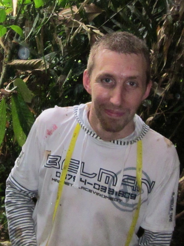
The Stability of Altered Forest Ecosystems (SAFE) project in collaboration with Rob Ewers at Imperial College. My work involved setting up 7 ha of carbon monitoring plots, including intensive fieldwork in Sabah, Malaysia, Jul-Sep 2011, with Walter Huaraca Huasco and the rest of my team. These plots in Malaysia are now bringing in data from the range of land use types in Sabah, providing new insights into the real carbon costs of tropical forest to oil palm plantation conversion. This work has now been taken over by Terhi Riutta.
|
Wytham Woods (Oxfordshire) maps resources: see here.